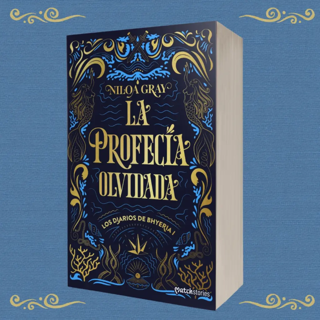
Creating a pirate fantasy map for a novel means turning into an image a world that, until then, exists mainly in the author’s head and in the pages of the manuscript. That was the starting point for the illustrated map of La profecía olvidada (The Forgotten Prophecy), the romantasy novel by Niloa Gray published by Esencia, an imprint of Grupo Planeta.
Pirate fantasy map
La profecía olvidada belongs to the series Los Diarios de Bhyeria and takes readers into a universe of pirates, ships, magic, pacts, sea creatures and adventure. It was published on 23 September 2026 and runs to 672 pages. The publisher presents it as a pirate romantasy that mixes fantasy, romance, adventure, betrayal and romantic tension. You can find all the details on the official page at Planeta de Libros.
In a world like this, cartography is not just decoration. The map lets readers find their way, understand how the territories relate to each other and start imagining Bhyeria before the story even begins.
From the author’s sketch to the map of Bhyeria
When Editorial Esencia commissioned the project, Niloa Gray gave me a rough map she had drawn herself. That first sketch was essential: it set out the general layout of the world she had imagined and became the reference for the final map.
This is an interesting part of a map illustrator’s job. You do not always start from a blank page. Very often the author knows their world perfectly: where each island, city or mountain is, because those places are part of the plot. My job is to interpret that information and turn it into a visual piece that works inside a published book.
Here the setting was the Bhyeria Archipelago, a territory made of many islands, locations and sea areas that had to fit into a composition clear enough for readers to find their way. The aim was not a conventional geographic map: it had to feel like part of that universe.
How the pirate fantasy map was drawn
The final map is drawn in black and white, with line work that combines cartographic information with illustrated elements from the novel’s imagery. It shows the islands of Bhyeria, its towns and key places, and adds maritime and fantasy details that tell readers what kind of world they are about to visit.
- An illustrated frame with skulls, ropes, tentacles, weapons, an anchor and a treasure chest.
- Sea creatures and a compass rose that bring movement and danger to the open water.
- Clear island shapes and labels, so the map can be checked quickly while reading.
None of these elements is there just to fill space. They build the personality of the map and anticipate a story of pirates, navigation and peril. That balance matters: a map for a novel must give information, but it can also become a piece of narrative illustration that rewards a closer look.
Interior illustrations in the same visual language
Besides the map, the project includes interior illustrations for the chapters, with ships, scrolls, coins, weapons and pirate symbols. Keeping the same line and resources as the map gives the whole book a consistent identity, which is one of the key jobs of an editorial illustrator for novels.


Why a fantasy novel needs an illustrated map
When a story happens in an invented territory, the author mentions cities, kingdoms, seas and islands that do not exist outside the book. An illustrated map turns those names into recognisable places. It also conveys scale, suggests distances and creates curiosity about locations that will appear later. In fantasy, science fiction, historical fiction or adventure, it becomes a visual extension of the worldbuilding.
There is an emotional side too. Opening a novel and finding a map feels like an invitation to travel before the first chapter. In La profecía olvidada, a story built around the ocean and island territories, the archipelago is not a backdrop: it is part of the experience.

Working with a map illustrator
Every project starts differently. Some authors send written descriptions, others references or their own sketches, and sometimes there is only a list of places. Having Niloa’s rough map meant we had a solid base from day one: the author keeps the internal logic of her world and I can focus on making it legible, attractive and ready for print. I work this way with publishers and directly with authors; you can read more on my page for authors and see other projects in map illustration.
About Niloa Gray
Niloa Gray is a writer of fantasy and romance and a book content creator with a large reading community on social media. She studied English Philology and Anglo-Saxon Literature and Culture and began sharing content about books online at a very young age.
FAQ about illustrated maps for novels
Can a map be based on the author’s sketch?
Yes, it is a very common way to work. A simple sketch already gives essential information about the structure of the world. The illustrator then organises it and develops a map that respects the author’s logic.
Does a fantasy map have to be realistic?
Not necessarily. It must be consistent with the story and with what the reader needs. The style can adapt to the genre, the period, the audience and the visual personality of each novel.
If you are writing a novel and need a pirate fantasy map, interior illustrations or a visual identity for your story, get in touch and tell me about your project.