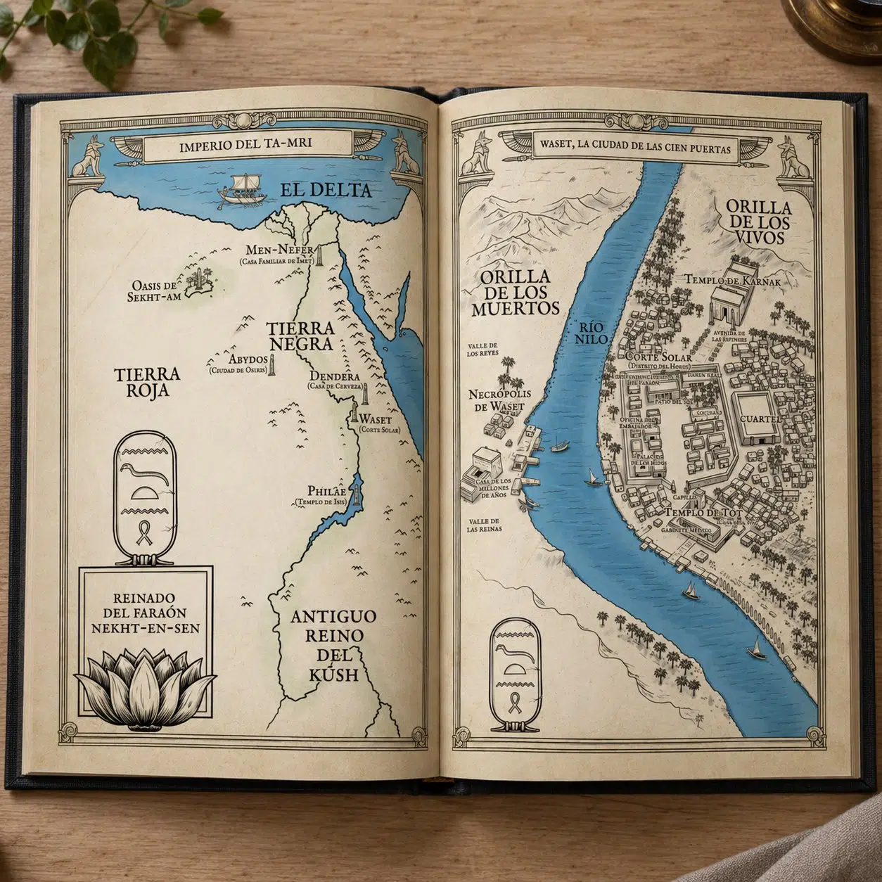
These are the Tigana map illustrations I created for Tigana, the epic fantasy novel by Guy Gavriel Kay. I drew five maps to accompany a planned Spanish reissue of the book. In the end, for reasons beyond our control, that edition never came out, but I want to share a small sample of the work here.
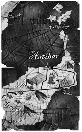
Tigana map
What the Tigana maps show
The maps cover the Peninsula of the Palm, the land where the novel takes place. The sample above focuses on the province of Astibar, with Senzio to the north, the archipelago off the coast, Tregea to the south and places such as the Sandreni palace and Borifort, which play a part in the story.
Instead of a classic parchment look, I drew the territory over a dark texture of cracked wood and tree rings, so that the land seems carved out of something old and wounded. It is a visual nod to the heart of the book: a country whose very name has been torn away from its people.
About Tigana, the novel
Tigana is the story of a besieged country fighting for its freedom. It is the epic tale of a people suffering under a terrible curse laid by the dark arts of the tyrannical sorcerer-king Brandin. Years after their culture was erased and their land laid waste, a small band of brave men and women sets out on a dangerous crusade to overthrow their conquerors. Set in a world both sensual and brutal, this novel about passionate people chasing a dream is overwhelming in its vision, and it changed the boundaries of fantasy fiction for good.
About Guy Gavriel Kay
Guy Gavriel Kay is a Canadian author best known for his historical fantasy. Before his own career took off, he worked with Christopher Tolkien on the editing of The Silmarillion. Tigana, first published in 1990, is one of his most celebrated novels: its Peninsula of the Palm is clearly inspired by Renaissance Italy, with rival city-states, intrigue and a strong sense of place. That mix of history and invented geography is exactly what makes a map so valuable for the reader.
Kay’s worlds feel real because their politics, landscapes and memories are tied together. When you illustrate a map for one of his books, you are not just placing cities on a coastline: you are giving shape to a homeland that the characters are fighting to remember.
Why a novel like Tigana needs a map
The Palm is divided into nine provinces caught between two rival conquerors, and much of the plot depends on borders, alliances and journeys from one province to another. A clear Tigana map helps readers keep track of where each character is and what is at stake in every region, without having to stop reading to work it out.
That is what I look for in every book map: it has to be useful when the reader needs it, and it also has to set the mood of the story from the very first pages.
Tigana map: frequently asked questions
Were these Tigana maps ever published?
No. They were created for a Spanish reissue of the novel that was finally cancelled, so these maps have only been shown here, on my website.
Can you illustrate a map for my own fantasy novel?
Yes. I illustrate maps for publishers and self-published authors. You can see more examples, such as my The Witcher map, on my map illustration page, or get in touch and tell me about your project.
Read more about Tigana
If you want to learn more about the novel and read other readers’ opinions, you can visit Tigana on Wikipedia or La Tercera Fundación.